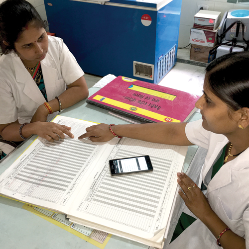


Mooted by the Karnataka Knowledge Commission (KKC), Karnataka Geographical Information System (K-GIS) has facilitated faster decision making by the Department of Health and Family Welfare by helping it map various departmental assets, observes Elets News Network (ENN).
The Karnataka State Remote Sensing Applications Centre (KSRSAC), under Department of Information Technology and Biotechnology, Government of Karnataka, is entrusted with the implementation of Karnataka Geographic Information System (K-GIS). As part of the K-GIS Programme, the Department of Health and Family Welfare in coordination with the KSRSAC completed mapping of various departmental assets like location of hospitals “ District hospitals, PHCs, CHCs, trauma care, ambulances, blood banks, etc. Following data sets are available on KGIS portal:
- Arogya Kavacha Ambulance
- Nagumagu Ambulance
- State Ambulance
- Trauma Centre
- Scanning centre
- Primary Health Centre
- Community Health Centre
- Sub Centres
- District Hospital
- Taluk Hospital
- Private Hospital
- Training centre DTC HFWTC
- Health Dashboards
Benefits of K-GIS
Citizens: Explore various facilities and assets across various government departments and public utilities. Useful for Navigation, Information needs.
Enterprises: To utilize the benefit of multi departmen tal datasets and develop applications for various business and citizen needs
Government Departments: Enhance efficiency of governance, decision-making, planning and development actions on the Karnataka GIS DSS Applications.
The K-GIS has the querying capability on various data based on location (buffer query) and attributes within specific geographical area of interest (administrative or electoral boundaries of Karnataka). It also provides dashboard with a display of statistics of various assets or facilities in GIS which may be useful to extend the planning objectives for the department. A dedicated mobile application is developed wherein the citizens can use it to identify the nearest emergency response facilities like hospitals, police station, blood bank, etc. KGIS portal (www.kgis.ksrsac.in/kgis) is also developed to allow visualisation and querying of various thematic data and assets of various departments.
This Android-based mobile application can be used by the users or general public which can help them to identify the nearest hospital locations, its distance and route for navigation from their current location. It is requested that the citizens can make use of this application for identifying the nearest government health center facilities. The vaccination and other immediate treatments are available in these centers. The mobile application can be currently downloaded from the web-link “ www.mobile.ksrsac.in/ nearbyservice. Android users can download, install and use the application in their mobile. The same is made available on the Google Play Store also.


 Like
Like
 Dislike
Be a part of Elets Collaborative Initiatives. Join Us for Upcoming Events and explore business opportunities. Like us on Facebook , connect with us on LinkedIn and follow us on Twitter , Instagram.
"Exciting news! Elets technomedia is now on WhatsApp Channels Subscribe today by clicking the link and stay updated with the latest insights!" Click here!